Sad though the railway closures of the 1960s were they did lead to possibilities for some walks with a difference. Having sampled the lines between Petersfield, Midhurst and Chichester on day walks I decided that the MSWJR would provide a good opportunity for a long weekend outing.
I invited four companions to join me though with a little more time available than they had I was on my own when I looked at Red Post Junction and then walked from Ludgershall to Grafton. (The track was still used from the junction as far as Ludgershall.)
From Grafton (actually Grafton & Burbage) all five of us then walked to Andoversford over the next three days covering, we reckoned, just short of 50 miles. The bridge crossing the Kennet & Avon Canal had, of course, disappeared and we followed the canal’s towpath to look at the canal tunnel at Savernake. Thence we aimed to follow the low level railway route to Marlborough but, as anticipated, found our way blocked by the sealed up tunnel and were compelled to climb out of the steep cutting and cross the fields above the tunnel. – happily with the blessing of the farmer whom we met as we emerged from the cutting!
There were a couple more problems in Marlborough – no longer a bridge over the main road nor one over the River Kennet – problems, of course, which had to be expected on such an expedition! There were other places too where we encountered problems of one kind or another – use of the cutting as a rubbish tip at Chiseldon, the line still in use at Swindon, considerable stretches of ballast still on the track making the going tough, several missing bridges – more of a difficulty, of course, where they would have taken us across a river – goats, pigs and chicken on the line and gardens extended to incorporate parts of the track.
Three of the five of us being enthusiastic, albeit unknowledgeable, railway “historians” we were particularly interested to see what railway relics we could still find and were rewarded with the remains of the stations at Ludgershall, Weyhill, Collingbourne, Grafton, Chiseldon, Cricklade, Cirencester (Watermoor), Foss Cross, Withington and Andoversford & Dowdeswell. We found the brick replacement for the burnt out lamp room (a van body) at Grafton and, as a change from railway relics the remains of the junction lock on the Cirencester branch of the Thames & Severn Canal. I am sure there must have been more of note but my memory and my notes are alike devoid of details though I did refer to “impressive cuttings and high embankments.”
As a postscript, I noted that for the following year’s walk we would probably be looking for one that spared us all those miles on ballast so probably not another disused railway – and we actually chose the Berkshire Ridgeway for 1968. (I also have a note that at our overnight accommodation in Wootton Bassett the five of us had paid a total of £7. 9s. 6d for our bed and breakfast and our packed lunches! Those were the days – though I expect in real terms that’s not much different from what we would pay today!)
The images from the walk courtesy of Rowan follow. Many thanks for the pictures and a superb article Rowan.
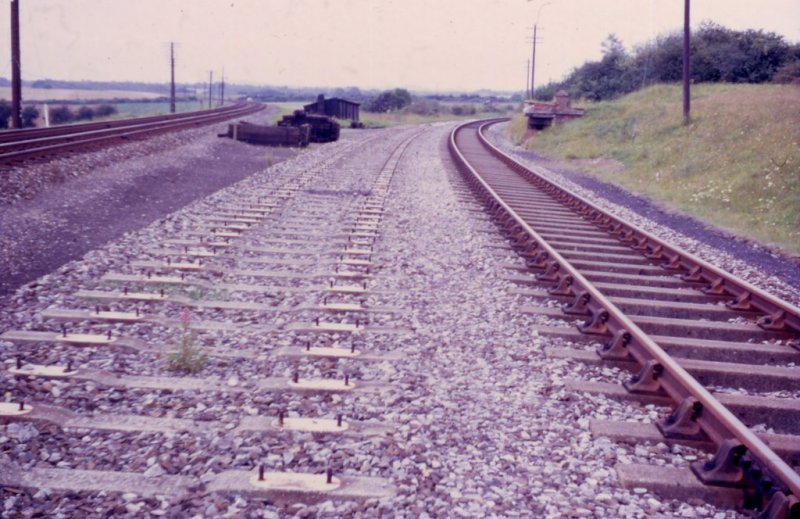
Red Post Junction - looking west
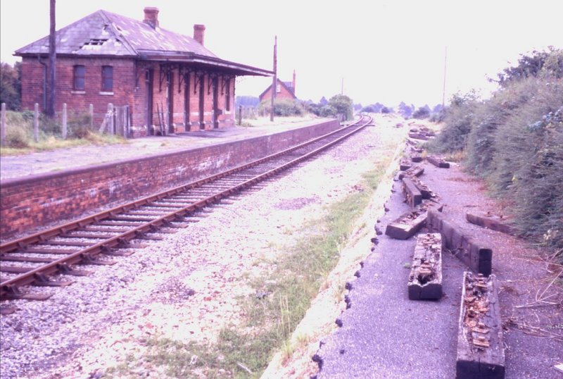
Weyhill Station - looking south east
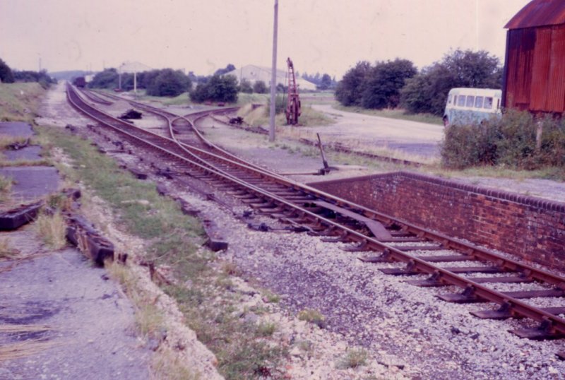
Weyhill Sidings - looking north north west
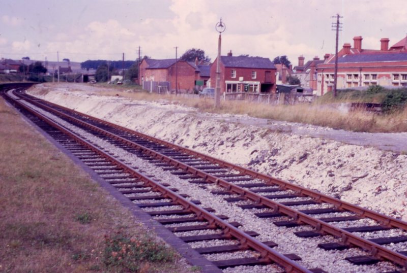
Ludgershall Station - looking west north west
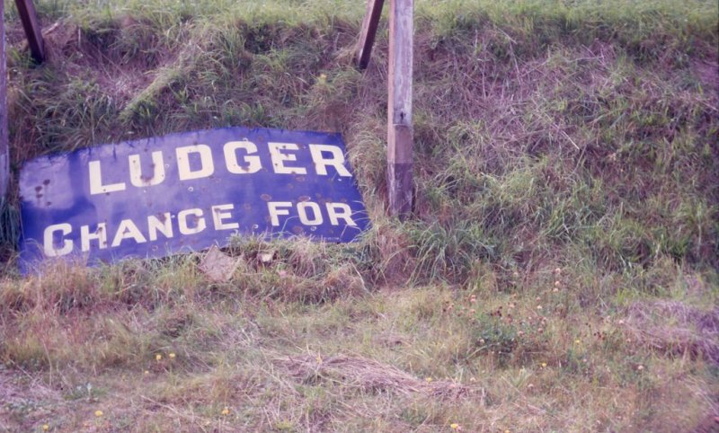
Ludgershall - remains of station name board on the up platform
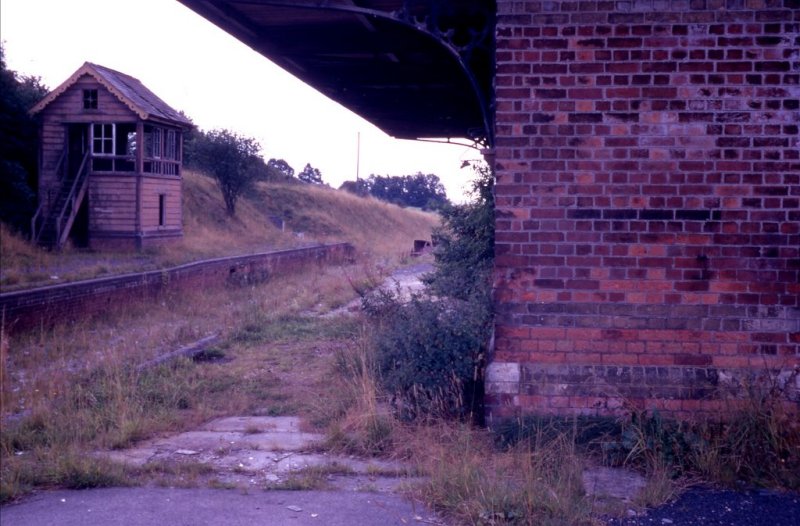
Collingbourne Station - looking south
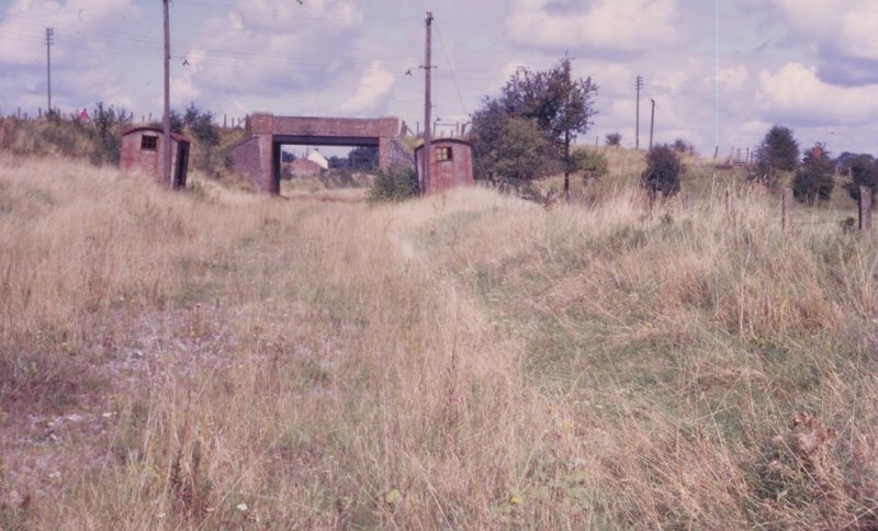
Collingbourne Kingston Halt (including tin waiting room) - looking north
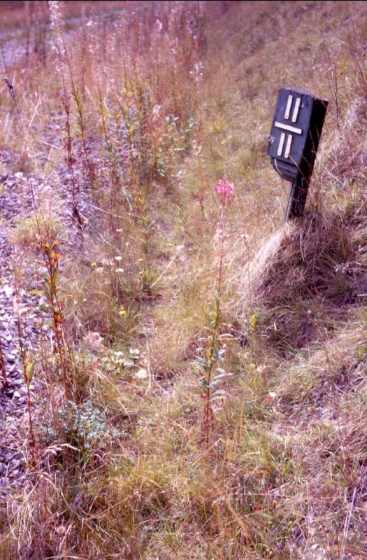
Quarter mile post - 11 1/2 miles from Red Post Junction - looking south
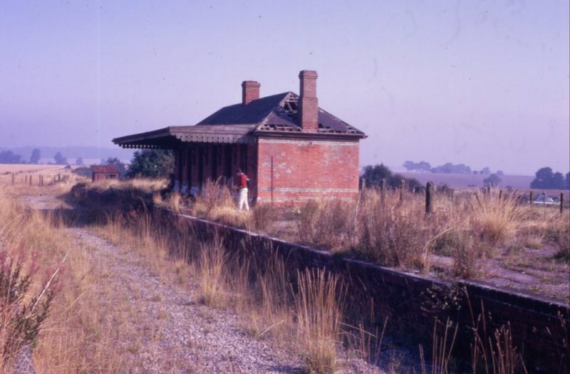
Grafton Station - looking north
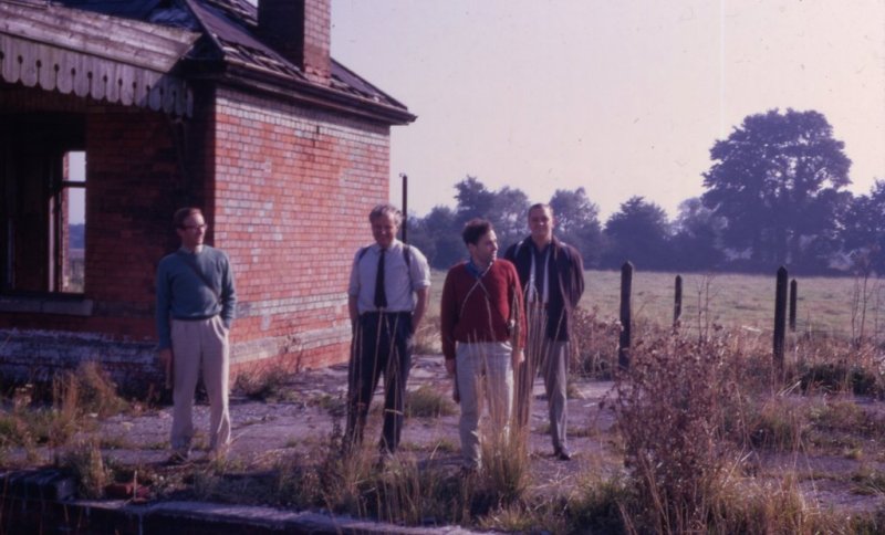
Grafton Station
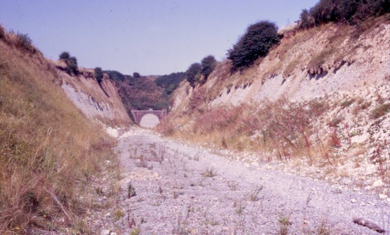
Southern entrance to Marlborough tunnel (1898 stone above portal)
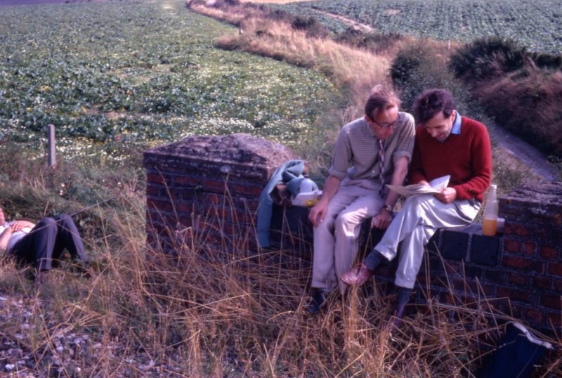
Bridge - Ogbourne St Andrew - looking east
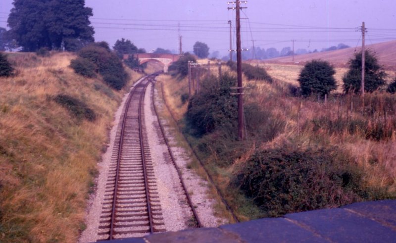
The line with track in situ - from the Purton Road bridge at Moredon - looking north
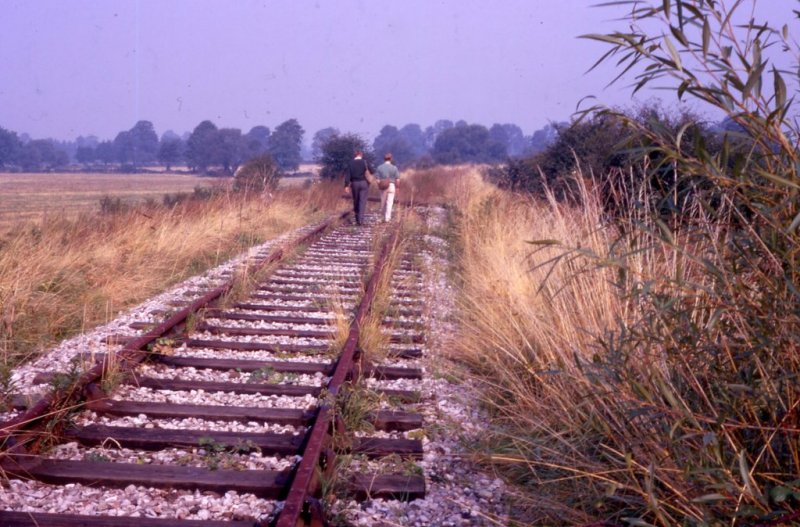
The end of the line at Grid Reference SU120878 (just north of the bridge in the previous picture) - looking north. After being taken up, the line has now been relaid and is now part of the Blunsdon & Cricklade Railway
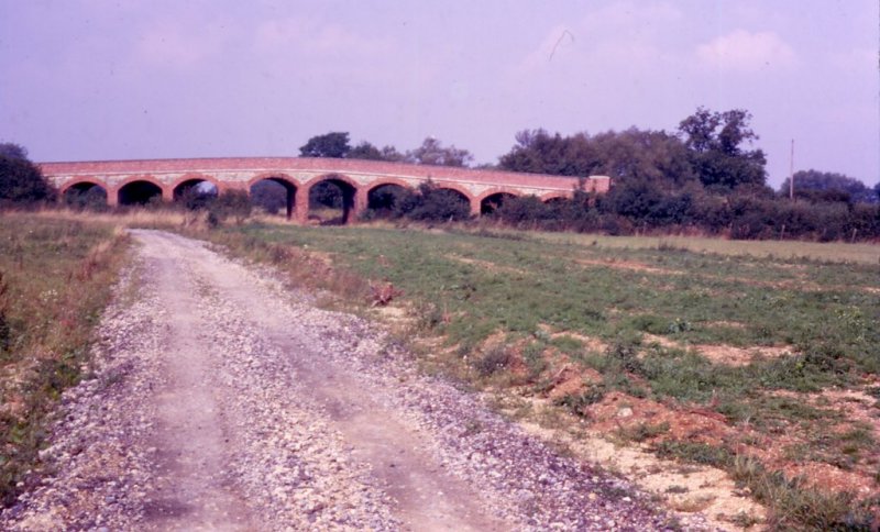
Road bridge at South Cerney - looking north west
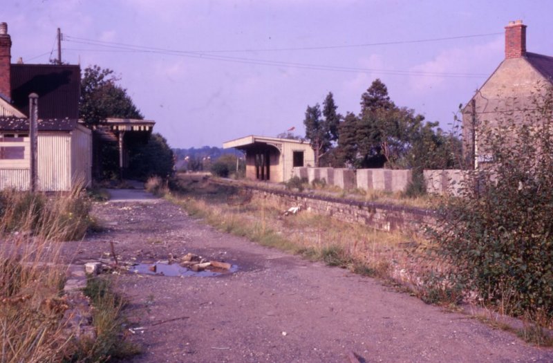
Cirencester (Watermoor) Station - looking north
Back to the home page


